The full study can be accessed: Here
The web-map can be accessed: Here
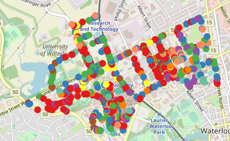
This project had two major components. The first component was data collection, and second was data display. The data of various sidewalk hazard were gathered using Arc Collector. This data was then saved as GeoJSON and displayed using Leaflet and ESRI Javascript API. Afterwards, the functionality of Leaflet and ESRI Javascript API were evaluated. Afterwards, the information was presented to Waterloo Municipality to be fixed.